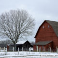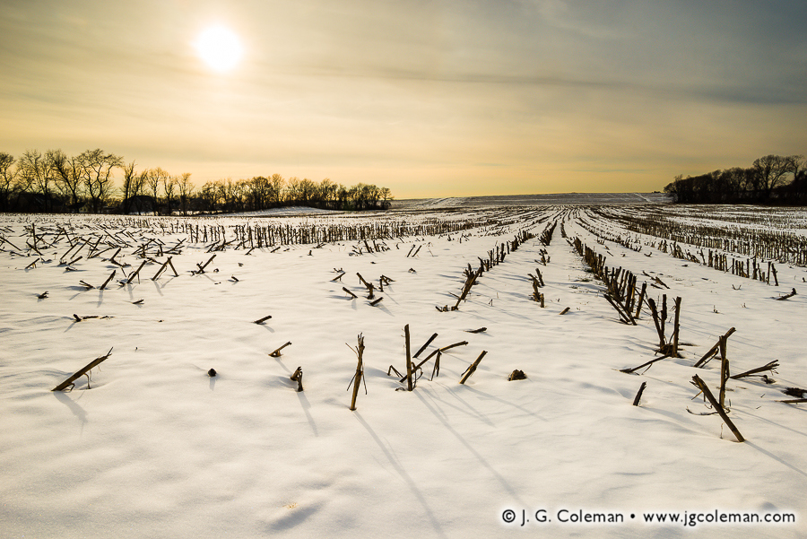

Snow-covered Corn Field, Enfield, Connecticut
© 2016 J. G. Coleman
Cast from the lustrous, hazy sky above, sunlight floods a frigid, snow-laden field in the Connecticut River Valley and throws long shadows from the stubble of last season’s corn stalks.
Although modern-day Enfield lies in the northernmost reaches of Connecticut on the east side of the Connecticut River, that wasn’t always the case. An early survey conducted in 1642, just as colonists were beginning to gain a foothold in New England, determined that Enfield was part of the neighboring Massachusetts Colony.
More than five decades later in 1695, a new survey determined that the old boundary between Massachusetts and Connecticut was entirely incorrect. Enfield and a handful of other towns, which had been part of Massachusetts for two generations, were actually part of Connecticut! Things moved slowly in those early days, though: it would take another 50 years before Enfield managed to officially secede from Massachusetts and join the Connecticut Colony in 1750.
Purchase a Fine Art Print or Inquire About Licensing
Click here to visit my landing page for “Yankee Farmlands № 50” to buy a beautiful fine art print or inquire about licensing this image.
Want to See More?
Be sure to check out all of the work of my on-going Yankee Farmlands project, a journey throughout Connecticut’s farmlands in celebration of the agricultural heritage of New England.