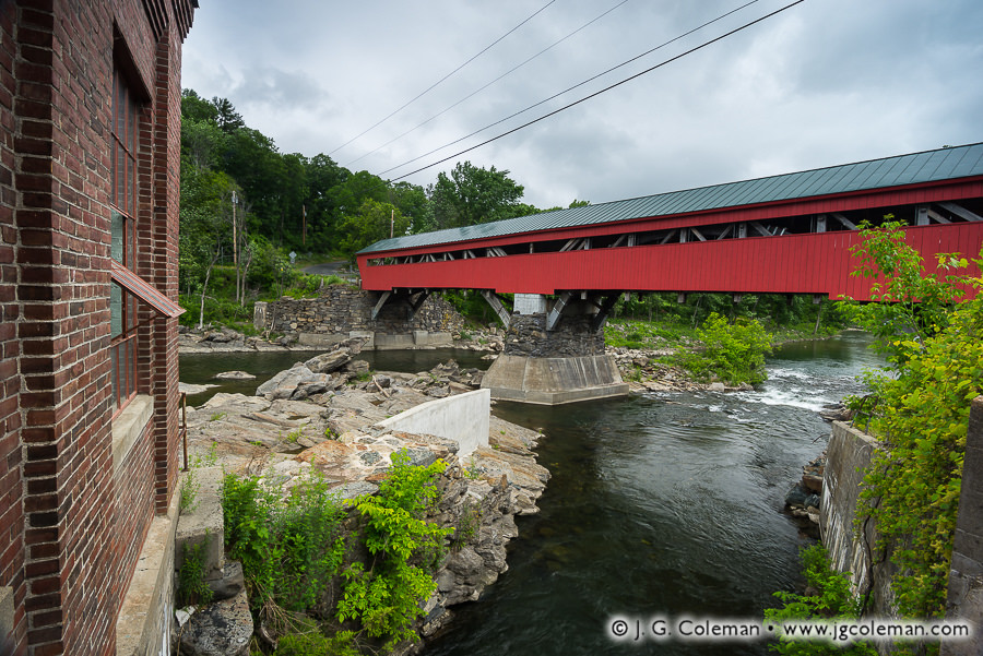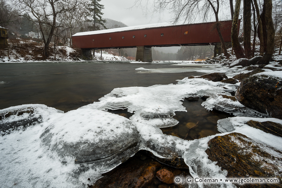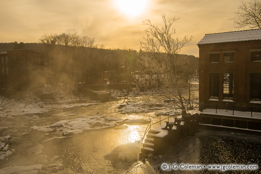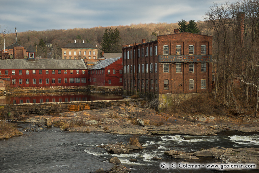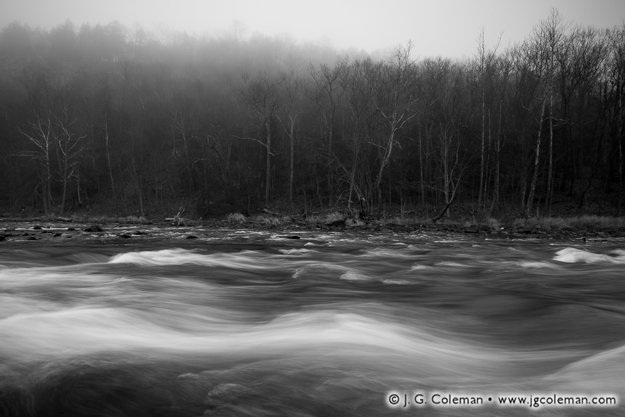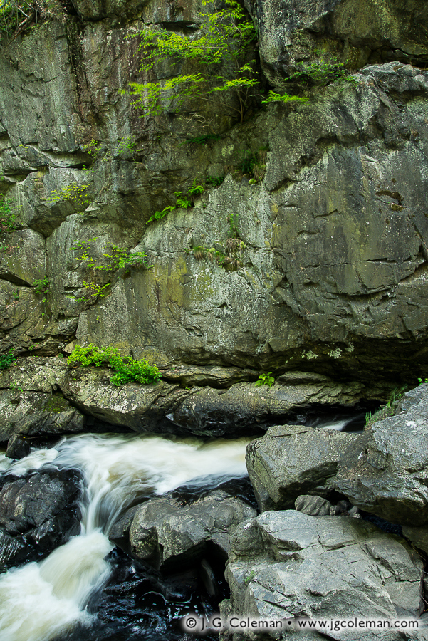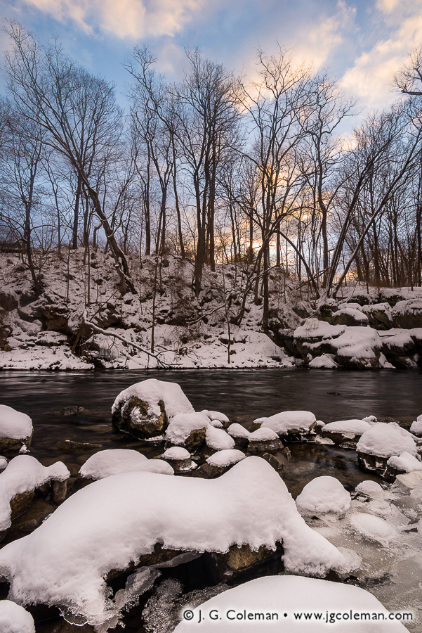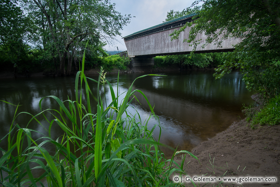
Naugatuck River, Thomaston, Connecticut
© 2017 J. G. Coleman
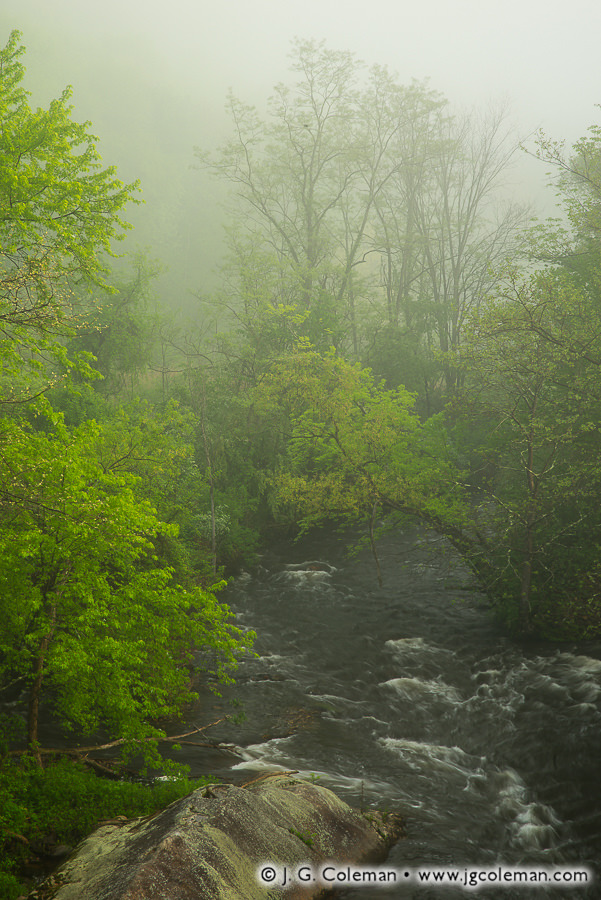
Coursing mightily after weeks of springtime rainfall, the Naugatuck River churns up wisps of whitewater as it snakes through mist-engulfed woodlands.
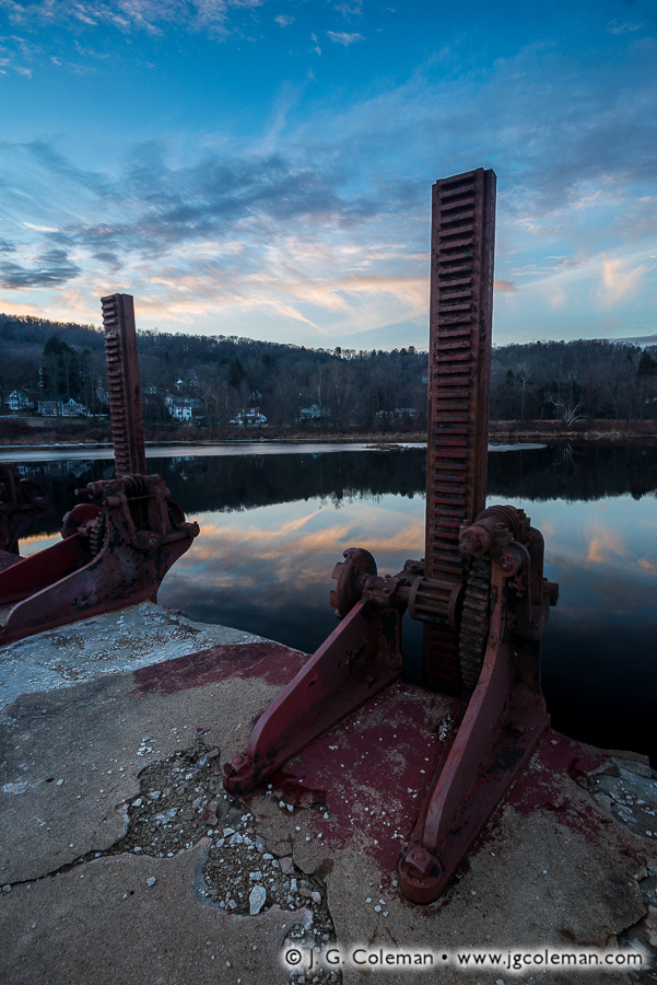
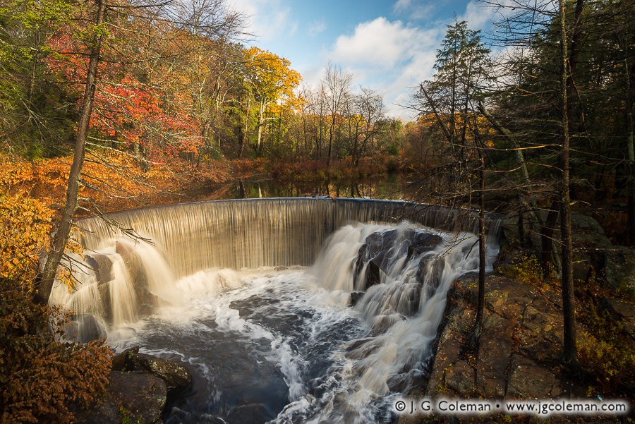
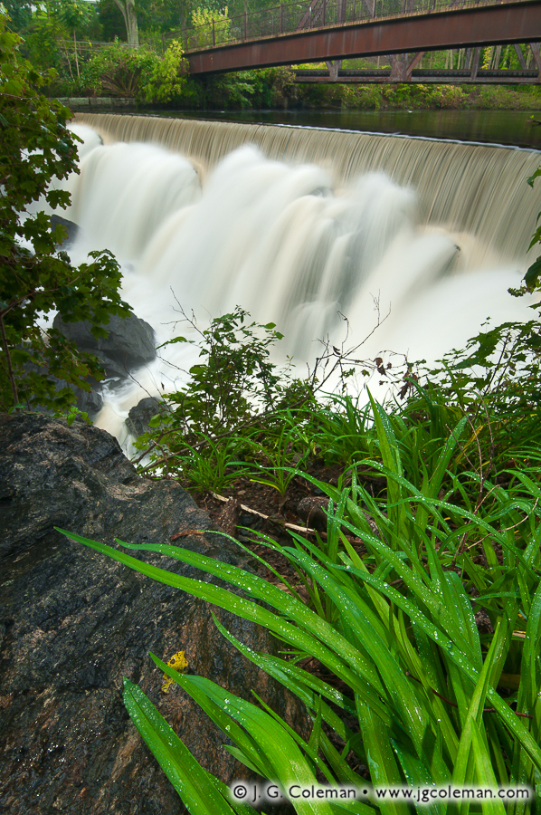
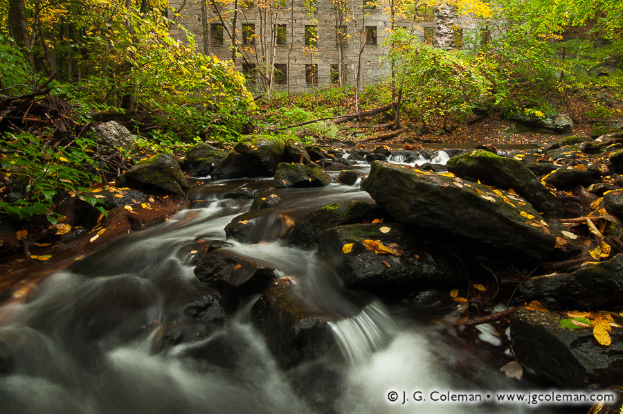
Over the course of a 39-mile journey from its headwaters in Northwestern Connecticut to its confluence with the Housatonic, the Naugatuck River descends more than 500 feet. Such fast-moving waters proved a boon for early industry, turning waterwheels and turbines that powered dozens of bustling factories during the 18th and 19th centuries. Of course, with that appropriation as a power source also came severe ecological decline.
Dams obstructed fish travel and decimated the fishery while factories channeled a foul stew of sewage and waste chemicals into the river on a daily basis right up until the 1960s. Mercifully, new regulations enacted in the 1970s ushered in a rejuvenating era for the Naugatuck characterized by dramatically improved water quality. Furthermore, five old dams have been removed entirely since 1999, reopening great lengths of the river to be traveled freely by rebounding fish populations.
Purchase a Fine Art Print or Inquire About Licensing
Click here to visit my landing page for “Naugatuck Eternal” to buy a beautiful fine art print or inquire about licensing this image.
Want to See More?
Be sure to check out all of my work from Connecticut.